More than 40 years of experience, surveying topotamymetric information on 85% of the country's reservoirs, and more than 1,500 successful projects covering more than 12 million hectares with Lidar sensors support the work of AEROESTUDIOS & BATIMETRIA, Colombian companies that have positioned themselves as leaders in the field of Geographic Information Systems (GIS), offering services in aerial photography, LiDAR, radar and thermal sensors, cartography, 360° photography, 3D modeling, cadastre, topography, bathymetry, hydrology, hydraulics, sediments, and property management.
Start with the customer – find out what they want and give it to them.
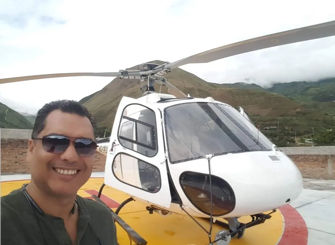
Alberto Moreno, CEO
Mr. Moreno brings 15 years experience to his role in geospatial sensor operations, ground control, flight planning, and logistics in LATAM.
From 2010 to 2024, we collaborated on numerous projects involving the analysis and application of LiDAR technologies across multiple cities in Central and South America.